DRONE ZONE MEDIA
  • Home
  • About
  • Services
    • Cinematography
    • CONSTRUCTION & INSPECTION
    • OIL, GAS & UTILITY
    • REAL ESTATE & INSURANCE
    • Events & Advertising
  • Store
  • Request Quote
ABSOLUTELY ACCURATE

AGRICULTURE

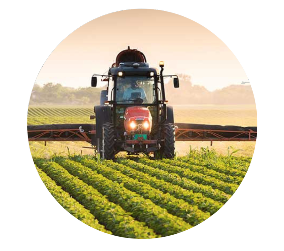
Agriculture Drone Service


Promote the day to day operations of life on the farm through high resolution aerial video or aerial photography. We capture the land, the livestock and the infrastructure. We also report on plant counts and help identify pest, disease, and unhealthy areas in crop fields with layered mappings to allow for targeted fertilizing or respraying. This has the potential to cut the farmers cost drastically. A beet farmer saved nearly $60,000 with drone mappings in order to catch an infestation before it spread too vast across his farmland. We add value by assisting the farmer to make business decisions quicker and more precise from a trustworthy perspective from a birds eye view.

Agriculture Drone Use
Crop Count Drones

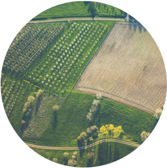
Using drone based plant counts greatly reduces miscounts and profit loss. Allowing Drone Zone Media to fly overhead your agriculture ensures that you have the confidence you need when making decisions. This also increased accountability for your farm. Read More
By using drone imagery, Bowles Farming Company was able to save $11-$15 an acre with targeted respraying — increasing the overall net profit of their cotton harvest. 
​- DroneDeploy
Drone Farming Crop Health & Other Uses
Drone Crop Counting

Crop Health & Monitoring

Through drone mapping and gathering a full comprehensive picture of fields farmers are able to make a more informed decision on treatment of problem areas. Drones also allow for a much more efficient solution to plant and stand counts. Drone data and maps are available for export to mesh against other data to gain deeper insights. 
  • Plant and Stand Counts
  • NDVI and VARI Indexing
  • Data export (Geotiff, Shapefile, EPSG)

Plant & Stand Counts

Drone technology in plant counts allow for more reliable data and can help make important business decisions at the right time, such as reseeding. Also, as in the case study, can help hold third party planters accountable and even help validate insurance claims. 
  • Quicker turn around time
  • Increases accountability
  • Determine Plant Survival Rate
  • Maps & Full Count Reports

DZM Owner

Drone Zone Media Owner
Picture

The Beginning of DZM

As a person who has been in the technical industry for over 15 years, I have always been fascinated with the modern advancements in aerial devices. Drone technology has grown so much in the past 10 years that it is now used in search and rescue situations. I have my UAS Pilot License in Texas and am FAA (Federal Aviation Administration) Certified in the state of Texas. 
​
Continue Reading My Story...

Certification

FAA Certified Drone Company

Recommendation

Contact
(832) 600 - 1972
​
Rosenberg, Texas

Industries
Agriculture
Construction & Inspection
Oil & Gas
Utility Company

Real Estate
Insurance Claims

Social & Corporate Events
Advertising & Marketing
Client Services
Payments
Pricing
Purchase Service

Support 
Contact Us
Request Quote
Refund Policy
Travel Expenses
Non-Refundable Fee
DZM Client Contract

Privacy Policy
Terms of Service

DMCA.com Protection Status
Picture
Picture
© 2022 DRONE ZONE MEDIA, LLC. ALL PICTURES AND VIDEOS CREATED AND FILMED BY DRONE ZONE MEDIA IS THE SOLE PROPERTY OF DRONE ZONE MEDIA, LLC, ANY REPLICATION OR REPRODUCTION OF IMAGES AND VIDEOS WILL BE CONSIDERED AGAINST THE COPYRIGHT LAWS. MISSION DESIGN SERVICES
  • Home
  • About
  • Services
    • Cinematography
    • CONSTRUCTION & INSPECTION
    • OIL, GAS & UTILITY
    • REAL ESTATE & INSURANCE
    • Events & Advertising
  • Store
  • Request Quote